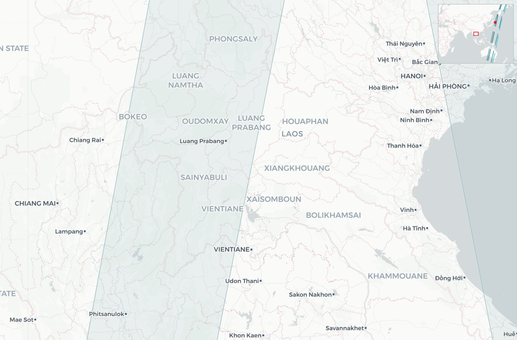
GIS Analysis for Typhoon Yagi Relief Efforts in Laos
Jul 10, 2024
Part 2: Analyzing Flood Data Using Sentinel-1 and GLOFAS/GFM
Background
While I was only asked about population mapping, I was curious about which flood data was available and how it was presented. I decided to explore satellite and hydrological data sources to complement the population analysis from Part 1. This section covers the insights gained from using Sentinel-1 imagery and data from the Global Flood Monitoring (GFM) service.
Because the API was a bit clunky to use, I also wrote a simple wrapper around the main endpoints, aimed at R users who want to quickly get flood information in an area of interest.
Sentinel-1 Satellite Imagery
The Sentinel-1 satellite, part of the European Space Agency’s Copernicus Program, uses synthetic-aperture radar (SAR) to capture images regardless of weather conditions, making it ideal for monitoring floods. The Sentinel-1 used to be a constellation of 2 satellites (1A and 1B), but 1B after suffering an anomaly is not sending data anymore and is scheduled to be deorbited.
Revisit Frequency: For a country like Laos, Sentinel-1 typically scans an area every 6 days, but this frequency can be higher in certain situations due to overlapping paths from ascending and descending orbits.
SAR Imagery: The images are produced in two main polarizations, VV and VH, allowing for detailed analysis of water surfaces and their extent during flood events. The radar can penetrate cloud cover, making it particularly valuable for flood monitoring in regions frequently affected by tropical storms.
Here, we will mainly use the Global Flood Monitoring (GFM), a product provided by the European Centre for Medium-Range Weather Forecasts (ECMWF), offering near-real-time flood monitoring data. This service processes Sentinel-1 imagery to provide rapid flood extent monitoring, making it possible to obtain real-time flood maps during and after an event.
Flood Data Layers from GFM
GFM produces several data layers essential for understanding flood impacts:
- Observed Flood Extent: Derived from Sentinel-1 images, this layer indicates areas currently flooded. It’s based on differences between the observed water extent and a reference water mask to identify newly flooded regions.
- Reference Water Mask: Represents permanent water bodies and is used to distinguish between normal water presence and actual flood events.
- Exclusion Mask: Identifies areas with unreliable data (e.g., due to topography or vegetation), helping to filter out noise from the analysis.
- Other layers include metadata, affected population estimates and land use. For the full list refer to the GFM documentation.
the rGloFAS library
The GFM layers are available through an API. It is free to use but you will need to create an account. GFM offers a basic tutorial on how to send requests, however, I wanted to simplify the process for programmatic access, which led me to write a quick wrapper library. You can download it (with instructions) on my GitHub page.
Share